
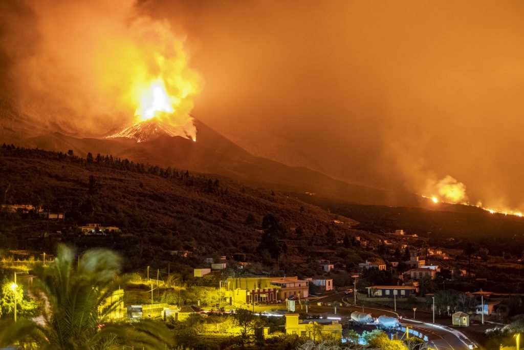
Volcanic activity
How are volcanoes formed?
Volcanoes are formed when molten rock (magma) from beneath the Earth’s crust rises to the surface. This can occur for several reasons:
- Tectonic plate movements: At divergent boundaries, plates move apart, and magma rises to fill the gap. At convergent boundaries, one plate is forced under another in a process called subduction. The subducting plate melts and forms magma, which can rise to the surface.
- Hotspots: These are areas in the middle of tectonic plates where magma rises to the surface. The Hawaiian Islands are an example of a hotspot chain.
Where are they created?
Volcanoes are commonly found at:
- Convergent boundaries: Where two plates collide, especially when an oceanic plate is forced under a continental plate. The Pacific Ring of Fire is a prime example.
- Divergent boundaries: Where two plates move apart, such as the Mid-Atlantic Ridge.
- Hotspots: As mentioned, these can be in the middle of tectonic plates.
Examples of volcanic eruptions
- Tectonic plate movements: The eruption of Mount St. Helens in the United States in 1980 was caused by subduction of the Juan de Fuca Plate beneath the North American Plate.
- Hotspots: The eruption of Kilauea in Hawaii in 2018 was caused by a hotspot.
What natural disasters can they cause?
Volcanic eruptions can lead to a number of hazards, including:
- Lava flows: Molten rock that can destroy everything in its path.
- Pyroclastic flows: Fast-moving currents of hot gas and volcanic matter.
- Ash fall: Fine particles that can affect air travel, human health, and agriculture.
- Lahars: Mudflows formed when volcanic debris mixes with water.
- Tsunamis: If the eruption or a landslide caused by an eruption displaces a large amount of water.
Examples
- Lava flows: The 2018 eruption of Kilauea in Hawaii resulted in significant lava flows that destroyed homes and infrastructure.
- Pyroclastic flows: The 1985 eruption of Nevado del Ruiz in Colombia produced pyroclastic flows that killed thousands of people in the town of Armero.
- Ash fall: The 2010 eruption of Eyjafjallajökull in Iceland released an ash cloud that disrupted air travel across Europe.
- Lahars: The same 1985 eruption of Nevado del Ruiz also produced lahars that contributed to the devastation of Armero.
- Tsunamis: The 1883 eruption of Krakatoa in Indonesia generated a massive tsunami that killed tens of thousands of people.
How to prepare for volcanic eruptions?
There are a number of things you can do to prepare for a volcanic eruption, including:
- Have an evacuation plan: Know the routes and have a plan in place.
- Assemble an emergency kit: Include masks to prevent ash inhalation, goggles, water, non-perishable food, and other essentials.
- Stay indoors: During an ashfall, it’s safer inside.
- Protect property: Clear roofs of ash, which can be heavy and cause collapses.
Examples of volcanic eruption preparation
- Evacuation plans: Before the 1991 eruption of Mount Pinatubo in the Philippines, timely evacuation plans based on scientific predictions saved thousands of lives.
- Emergency kits: In areas prone to volcanic activity, like parts of Indonesia or Japan, local governments often distribute guidelines on what to include in emergency kits.
Equipment for assessing volcanic activity:
To monitor and assess volcanic activity, experts use:
- Seismographs: To detect earthquakes that indicate magma movement.
- Tiltmeters and GPS: To measure ground deformation.
- Gas sensors: To measure gases emitted from the volcano, like sulfur dioxide.
- Thermal cameras: To detect heat around the volcano.
- Satellite imagery: To monitor changes in the volcano’s shape and track ash clouds.
Examples of equipment used to assess volcanic activity
- Seismographs: Before the 1980 eruption of Mount St. Helens, seismographs detected increased earthquake activity, signaling the upcoming eruption.
- Tiltmeters and GPS: The swelling of Mount St. Helens before its 1980 eruption was detected using these tools.
- Gas sensors: Before the 2010 eruption of Eyjafjallajökull in Iceland, increased emissions of certain gases were detected.
- Thermal cameras: These have been used in various volcanic regions, like the Andes in South America, to monitor heat variations around volcanoes.
- Satellite imagery: Satellites were crucial in monitoring the ash cloud